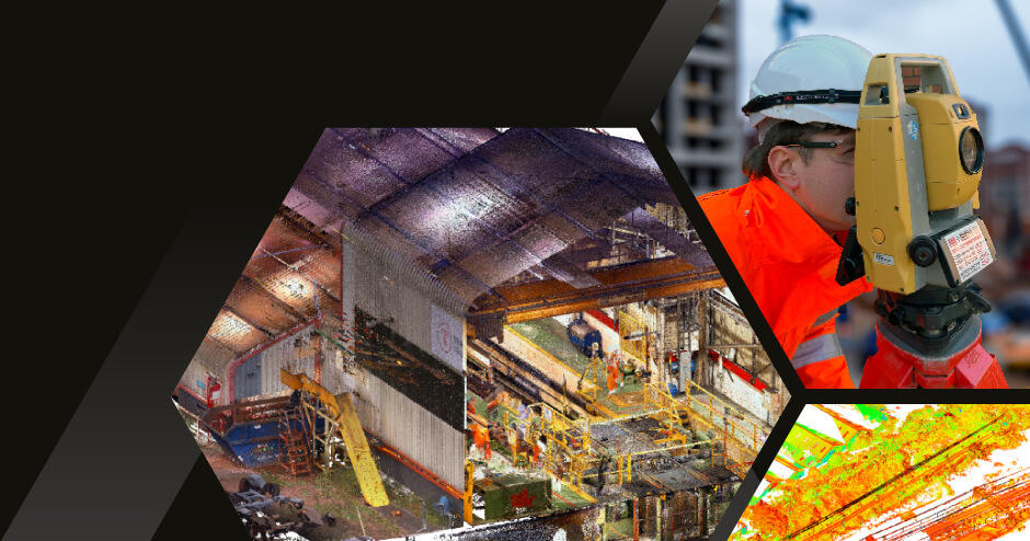
Our topographical surveys and Cloud point surveys give you a full assessment and detailed 3D representation of your site to understand the full detailed map.
Overview of Topographical Survey
Topographical surveys involve mapping the physical features of a piece of land or an area. They capture data such as elevation, contours, existing structures, vegetation, and other relevant details.
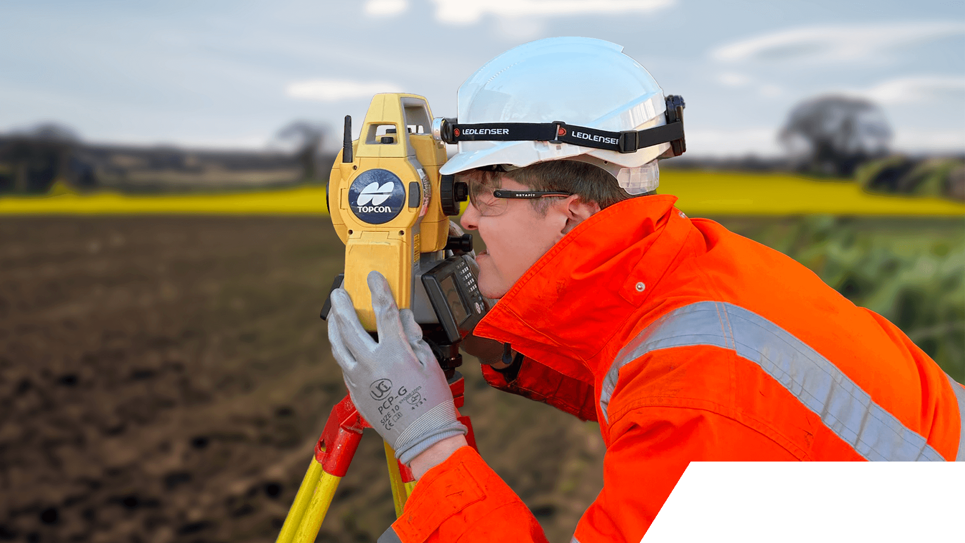
Data collection to provide an accurate representation of the terrain and built environment. Data collection via total stations operated by trained engineers
Point cloud survey
3D data collection via laser scanning equipment. Millions of individual data points are captured enabling a 3D representation to assist with modelling, volumetrics and interrogation
“We have worked with Lisa and HEXAGON (formally Epsilon) on various Railway Depot Upgrade Projects. Their positive, creative attitude has ensured projects are normally delivered on time and within budget. We recommend them to our customers and will be using them again.”
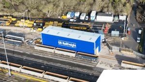
Requirement for a new rail maintenance facility encompassing a steel portal frame cladded building to house a state-of-the-art double-headed wheel lathe.