Topographical & Point Cloud Surveys

Hexagon Design, Pre Construction and technical services

Overview of Topographical and Point Cloud Surveys

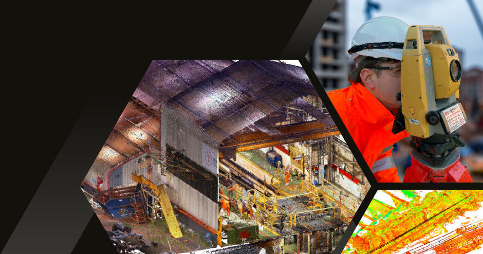
Our topographical and Point Cloud surveys provide a comprehensive assessment and detailed 3D representation of your site, enabling a complete, detailed map.

Yorkshire Topographical Study, Hexagon Design, Pre Construction and technical services

What's included in our process

Topographical survey

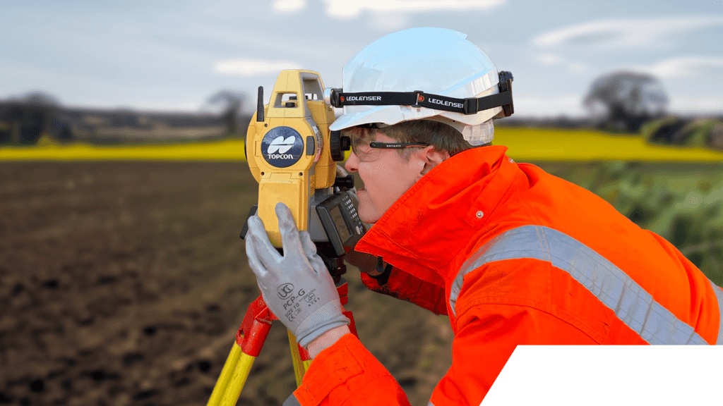
Data collection to provide an accurate representation of the terrain and built environment. Data collection via total stations operated by trained engineers

Point cloud survey

3D data collection via laser scanning equipment. Millions of individual data points are captured enabling a 3D representation to assist with modelling, volumetrics and interrogation

Topographical surveys involve mapping the physical features of a piece of land or an area. They capture data such as elevation, contours, existing structures, vegetation, and other relevant details.

Our design process

We help companies unlock their potential

Design-Process